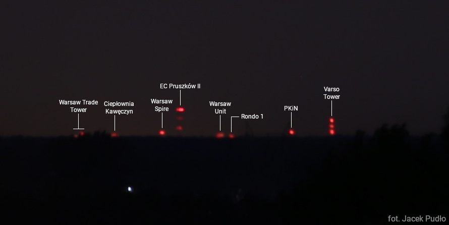
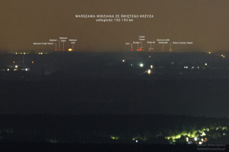
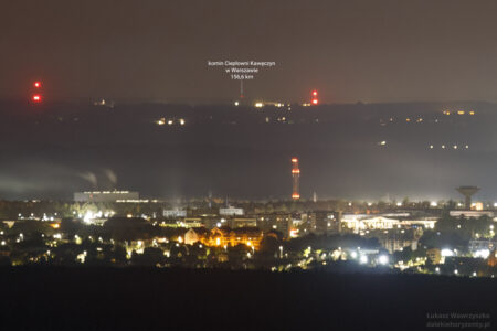
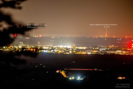
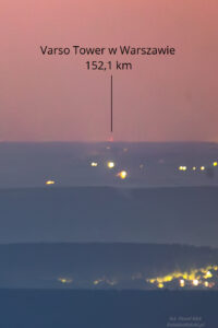
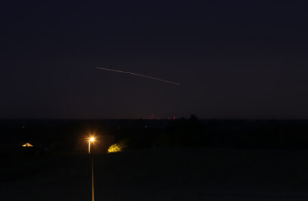
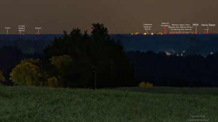
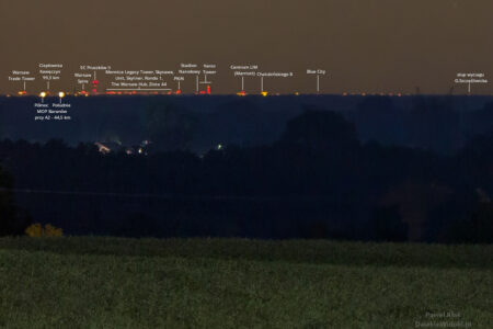
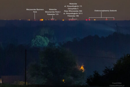
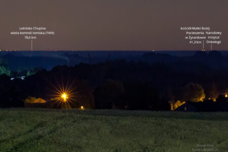
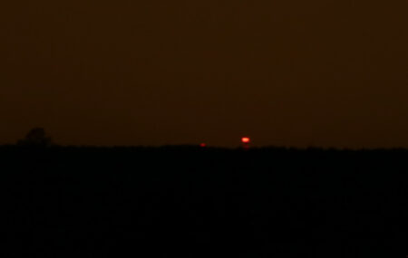
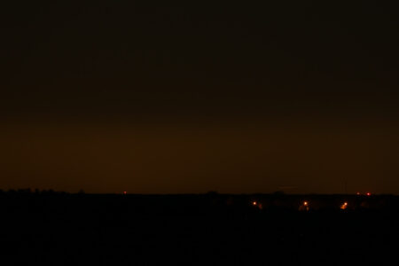
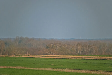
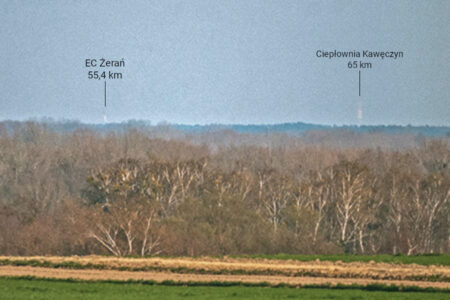
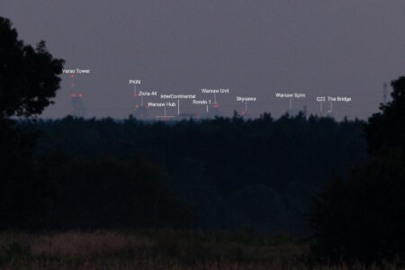
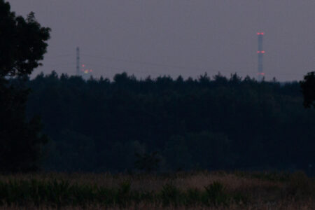
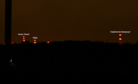
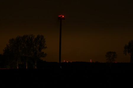
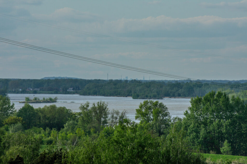
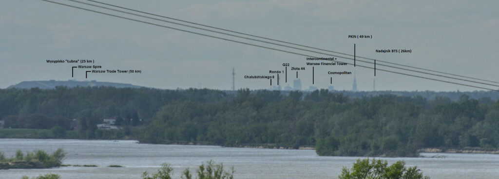
Currently, the farthest documented view of Warsaw is the light on top of the Kawęczyn Heat Plant chimney, as seen from the stone run on Łysa Góra in the Świętokrzyskie Mountains, from a distance of 156.6 km.
The map and list below include locations from which objects in Warsaw have been photographed from at least 50 km away.
1. Łysa Góra
Łysa Góra – stairs to the viewing terrace on the stone run 50.860972°N, 21.047500°E
Distance: 156.6 km to the Kawęczyn Heat Plant chimney, 152.9 km to Warsaw Trade Tower, 152.1 km to Varso Tower
Sources: dalekiehoryzonty.pl, dalekiewidoki.pl
A record-breaking distant view of Warsaw – from the Holy Cross Mountains you can see the lights of the Kawęczyn Heat Plant chimney and numerous skyscrapers. This is possible on clear nights, when refraction of light in the near-ground air layer is greater than usual – there is an increase in atmospheric refraction as a result of radiative temperature inversion.
2. Kalenice
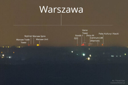
Kalenice – point near the forest – 51.963163°N, 19.856419°E
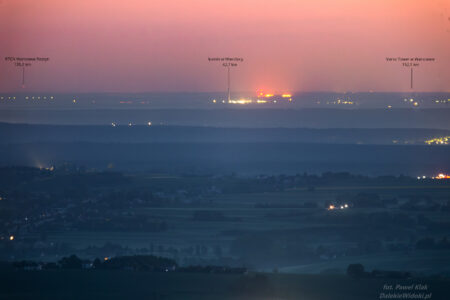
Distance: 93.3 km to the Kawęczyn Heat Plant chimney, 84 km to the Palace of Culture and Science
Sources: Facebook, version with captions – dalekiehoryzonty.pl
On 26.06.2023 Paweł Kłak encountered a stronger temperature inversion, which made even more objects visible – more on dalekiewidoki.pl.
Kalenice – viaduct over the A2 motorway – 51.964941°N, 19.859048°E
Distance: 93 km – Kawęczyn Heat Plant chimney, 83.7 km – Palace of Culture and Science, 83.3 km – Varso Tower
Sources: Facebook, dalekieobserwacje.eu, version with captions – dalekiehoryzonty.pl
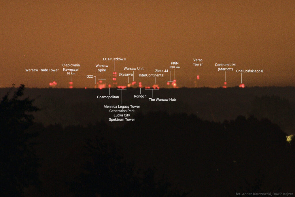
The visibility of these objects was possible due to the radiative temperature inversion and associated increased atmospheric refraction. Read more in the post Warsaw seen from Kalenice.
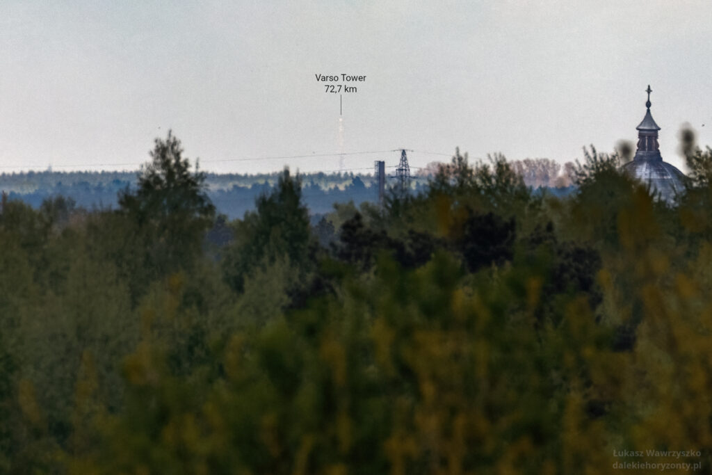
3. Krężce
strong>Krężce – 51.9213°N, 20.0608°E
Distance: 72.7 km to Varso Tower
Source: dalekiehoryzonty.pl
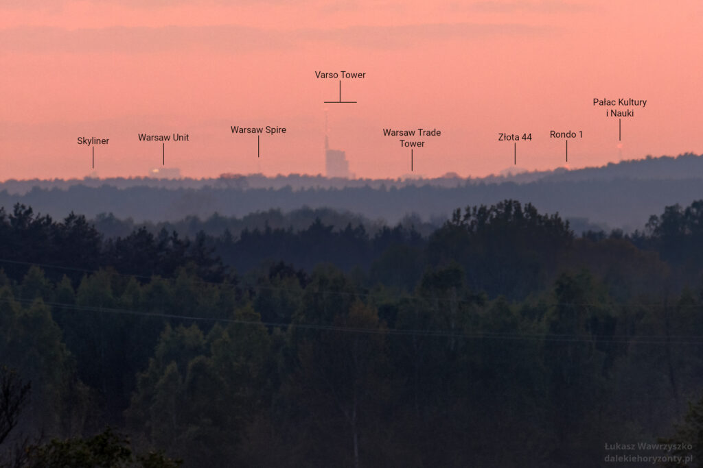
4. Iwowe
Iwowe – 51.967478°N, 21.856230°E
Distance: 66.7 km to Warsaw Trade Tower
Source: dalekiehoryzonty.pl
5. Paplin
Paplin – 52.481707°N, 21.883785°E
Distance: 66.3 km to Varso Tower
Source: Facebook
6. Wyszogród (Zamieście)
Wyszogród (Zamieście) – 52.402351°N, 20.197698°E
Distance: 65 km to Kawęczyn Heat Plant chimney
Source: Astropolis (localisation)
7. Wyszogród (Warszawska Street)
Wyszogród (Warszawska Street) – 52.395662°N, 21.214978°E
Distance: 56,5 km to Varso Tower
Source: Astropolis
8. Dąbrowa
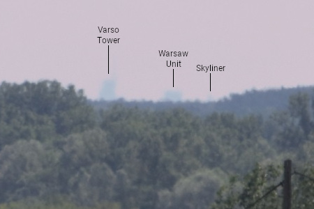
Dąbrowa – 52.384417°N, 21.787882°E
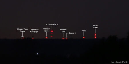
Distance: 57.3 km to Warsaw Hub, 57.2 km to Warsaw Unit, Warsaw Spire, The Bridge and Warsaw Trade Tower, 56.3 km to Varso Tower
Source: astropolis.pl
Dąbrowa – 52.382676°N, 21.788156°E
Distance: 56.2 km to Varso Tower
Source: Facebook
9. Żyrardów
Żyrardów – 52.053150°N, 20.443846°E
Distance: 52.5 km to Kawęczyn Heat Plant chimney
Source: Facebook
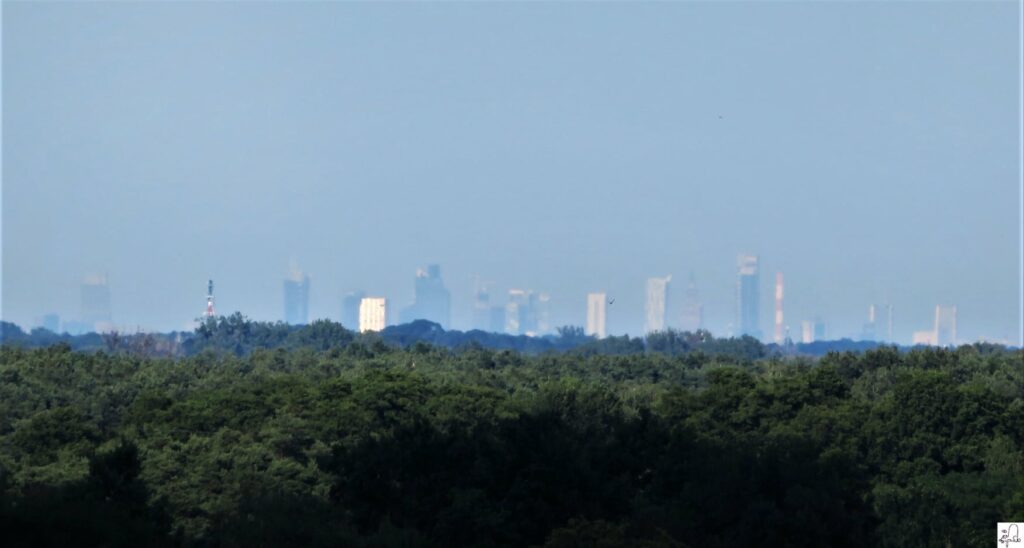
10. Mniszew
Mniszew – 51.832878°N, 21.306923°E
Distance: 50 km to Warsaw Trade Tower
Source: Astropolis
